It was during the spring of 1992, after reading the book The Sun and the Serpent by dowser Hamish Miller and researcher and writer Paul Broadhurst, that I was inspired to walk and dowse the St Michael alignment, the longest eastwest alignment in the country from Lands End in Cornwall to the Norfolk coast. During this pilgrimage, I had a strong sense that there is an equivalent northsouth line and when I visited Glastonbury, by chance I found Guy Ragland Phillips book Brigantia a Mysteriography in one of the second-hand bookshops. As I opened the book, I saw an outline plan of Britain showing the Belinus Line, which forms the longest north-south land route through Britain avoiding the sea.
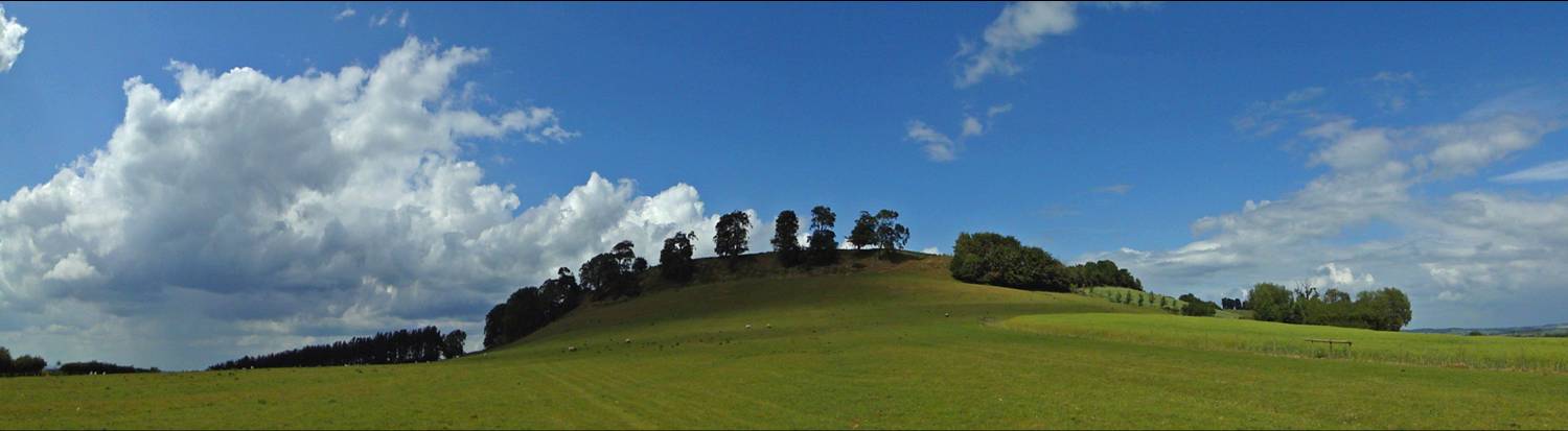
The Belinus Line begins its journey on the south coast of mainland Britain by the Meon Estuary. I later encountered this name in Englands central county of Warwickshire where the line passes by Meon Hill. Meon is the ancient British word for middle. John Michell refers to other related names at the centre of other countries such as Meonenim in the Holy Land, Myon in France, Milan in Italy, anciently known as Mediolanum, and Midhe or Meath, the central province of Ireland. In the north of England, the proximity of the Belinus Line, passing close to two geographical centres of Britain, further suggests that it is a middle axis.
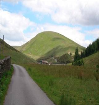
According to Ordnance Survey, the small Lancashire town of Whalley is at the centre of Britain when surveyed without its outer islands. The carvings on the ancient crosses in the churchyard also allude to the axis mundi. Remarkably, only 18 km (11 miles) NNW of Whalley, the alignment passes near a hill called Middle Knoll just north of the tiny village of Dunsop Bridge, which is the nearest natural feature to the exact centre of Britain if you include her 401 offshore islands. In Scotland, the alignment passes through Pitlochry in Perthshire, the most geographically central town in Scotland, Inverness, the capital of the Highlands, and the prehistoric centre at Lairg, the centre of Sutherland. Therefore, I believe the Belinus Line is Britains northsouth axis mundi of sacred centres